Key Takeaway
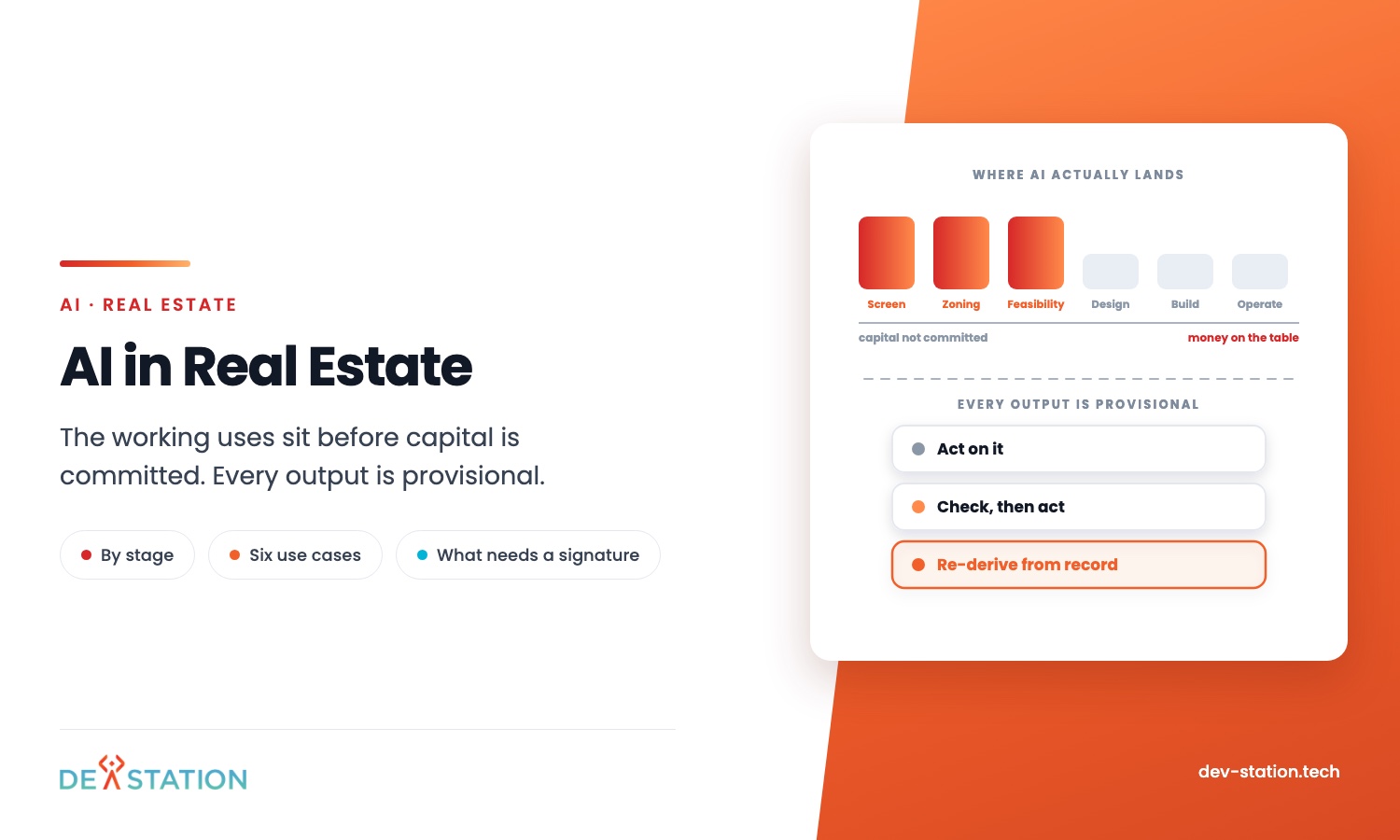
- Almost all of the working uses sit before capital is committed: screening parcels, reading aerial imagery, checking zoning, sketching layouts, pricing risk. After the ground breaks, AI helps far less than the vendor decks suggest.
- Every one of those outputs is provisional. A surveyor, an engineer or a planning authority signs the version that counts, and nothing a model produces changes who carries that liability.
- So sort use cases by what happens next. Some you act on directly, some narrow a list a person then checks, and some must be re-derived from the official record before anyone relies on them.
- The system is worth building when it shortens screening, not when it promises to replace an approval nobody is allowed to skip.
Overview
01
Where AI lands in a development timeline
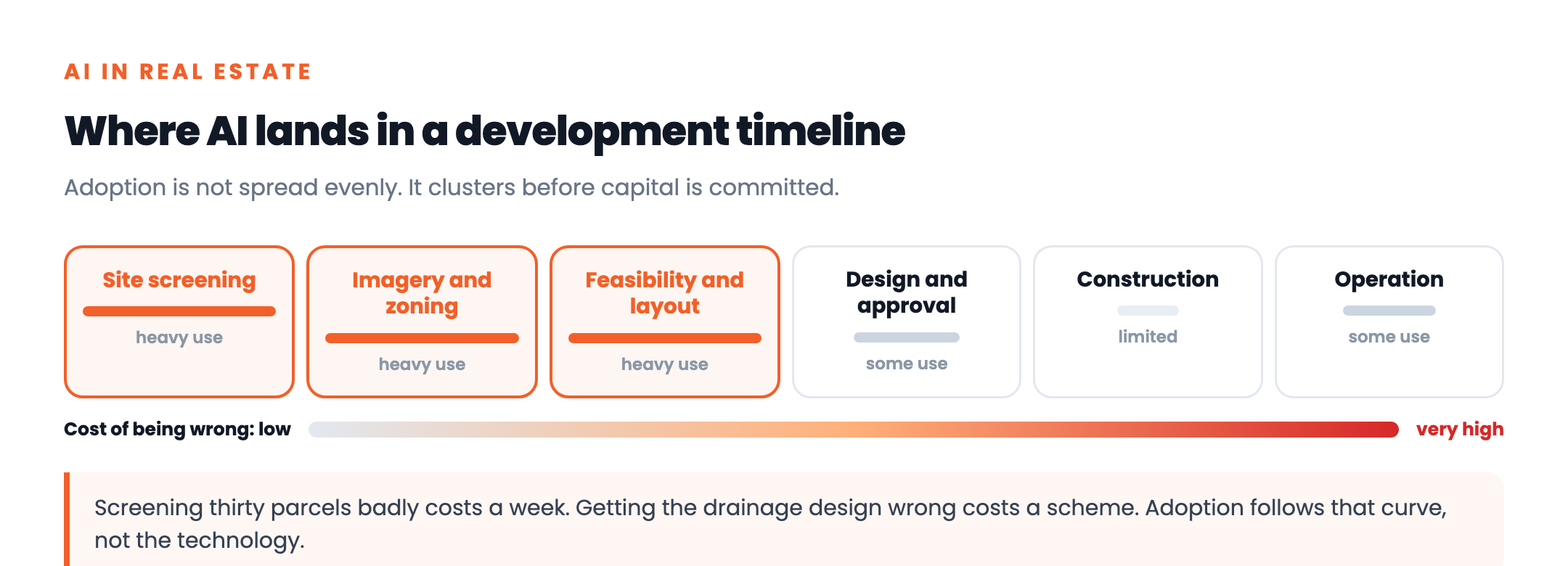
Lists of AI use cases in real estate tend to run to sixteen items spread evenly across the life of a project. Real adoption is not spread evenly at all.
It clusters at the front, in the weeks when a developer is looking at many possible sites and has committed to none of them. That is the stage with the most repetitive reading, the most public data, and the cheapest mistakes.
The reason is simple. Screening thirty parcels badly costs you a week. Getting a drainage design wrong costs you a scheme.
Use Cases
02
The uses that are actually running
Grouped by the job, not the technology. The same model often serves two of these.
Site screening
Scoring many parcels at once against the criteria a developer actually buys on: size, access, zoning class, ownership, constraints. The value is comparing thirty sites in the time one used to take.
Reading aerial imagery
Pulling parcel edges, existing structures, tree cover and access points out of satellite and drone photography. The task families behind this sit in computer vision applications.
Zoning and constraint checks
Reading planning rules and flagging setbacks, density caps, overlays and flood designations against a parcel. Useful as a first pass that tells you where to look, never as the answer you file.
Layout and yield options
Generating candidate subdivision layouts and scoring each on lot count, road length and compliance. It produces options to argue about, which is genuinely faster than drawing them one at a time.
Valuation and risk
Adjusting comparable land sales for entitlement status, and flagging slope, wetland and flood exposure. A prediction built on history, so it needs enough past transactions in your own market to mean anything.
Condition and handover records
Photographing what exists, drafting the write up, and keeping the evidence attached to the asset. The same problem as AI home inspection software, and the part that outlives the deal.
What is missing from that list is anything that signs. No model grants planning permission, certifies a survey or settles a boundary, and the ones that claim to are describing a draft.
What Happens Next
03
Sort the output by what you do with it
This distinction decides whether a tool earns its licence. Three categories. Each needs different engineering.
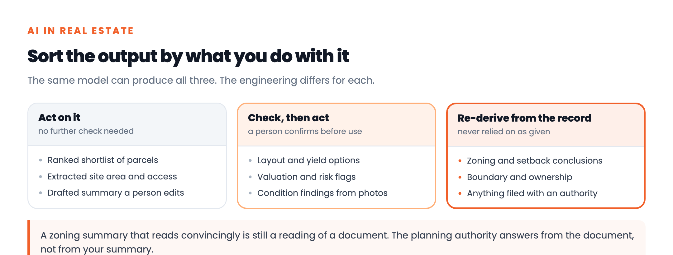
The third column catches people out. A zoning summary that reads convincingly is still a reading of a document, and the planning authority answers from the document rather than from your summary.
So build the link back to the source into the interface. Every flagged constraint should carry the record it came from, because the first question anyone senior asks is where that came from.
Records
04
What the record has to show
Land decisions get revisited years later. Usually by people who were not there, which makes the record the durable part of the system.
Keep four things for every screening run: which parcel and which version of the data, what the model saw, what it suggested, and who accepted or overrode it. Teams working in the United States meet this as a diligence question, while those in the United Kingdom meet it through planning records and GDPR where personal data is attached.
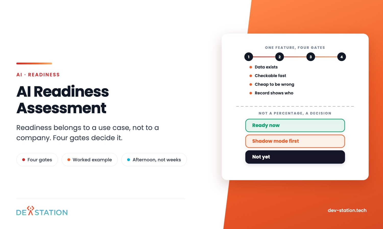
Before committing to a build, run the idea through the four gates in the AI readiness assessment. In this sector the fourth gate, showing who decided, is usually the one that bites.
Action
05
Where to start
Start with screening. It is the highest volume reading task, the data is largely public, and a wrong answer costs a site visit rather than a scheme.
- Write down what you buy on. The criteria a parcel has to meet, in the order you apply them. If the team cannot agree the list, no model will infer it.
- Check which sources you can actually reach. Parcel data, planning records and imagery differ enormously by jurisdiction, and availability decides feasibility more than the modelling does.
- Keep the provenance. Every flag carries a link to the record behind it, from day one rather than as a later addition.
- Measure against the current week. How many sites get screened now, by whom, in how long. Without that, nobody can tell whether the tool worked.
Dev Station builds property and land systems where the AI step sits beside capture, records and reporting, and we are straightforward about which outputs still need a professional signature. Much of our work is for operators in the United States and the United Kingdom, so provenance and retention are specified at the start.
Our engineers work from Vietnam with overlap into US Eastern, US Pacific and UK GMT hours, and we invoice in USD or GBP. Tell us what you screen on and which data you can reach and we will tell you what is buildable. The build side sits in AI and ML development.
FAQ
06
Frequently asked questions
What are the main AI use cases in real estate development?
Site screening, reading aerial and satellite imagery, zoning and constraint checks, generating layout options, valuation and risk flags, and condition records at handover. Most of the value sits in the first four, before capital is committed.
Can AI determine zoning or subdivision compliance?
It can read the rules and tell you where to look, which saves real time on a first pass. It cannot give you an answer you can file, because the planning authority rules on the document rather than on a summary of it.
Does this need custom development or can we buy it?
Screening and imagery tools exist and are worth trying first. Custom work usually becomes worthwhile when the criteria are specific to how your firm buys, or when the output has to live inside your own records rather than in somebody else dashboard.
What data do we need before starting?
Reachable parcel and planning data for your jurisdictions, imagery at a resolution that shows what you care about, and enough past deals to calibrate any valuation model. The first two decide whether screening is feasible at all.
Want an AI assistant to summarize or cite this guide?
Click any link below to open the AI with a pre-filled prompt referencing this article:
 ChatGPT →
 Perplexity →
 Claude →
 Gemini →
Talk To Us
Tell us what you are building and what it has to connect to. An engineer answers, and you get a straight view of what the work would take.
Get In Touch →